
Scaling Local Impact: Practical Catchment Management in Ethiopia
The BURQAA Initiative (‘burqaa’ meaning “spring” in Oromifa) was established to deliver practical, localized interventions that improve watershed conditions and contribute to sustainable water use. Implemented by Acacia Water and World Vision Ethiopia in partnership with HEINEKEN Breweries S.C., the initiative supports the offset of water consumption at HEINEKEN’s breweries in Bedele and Harar. Interventions are focused in two catchments: Upper Dabena (Illubabore Zone, Oromia Region) and Hakim Gara (Harari Region). These efforts aim to enhance natural water retention, reduce soil erosion, and restore vegetative cover through targeted, community-driven catchment management.
- A phased approach to catchment management allowed for piloting, learning, and scaling up successful practices.
- Soil and water conservation measures delivered measurable results, confirming that nature-based solutions are effective in managing water balance.
- The development and field validation of catchment management guidelines (CMGs) enables local actors to plan and implement site-specific restoration activities more independently.
- Continuous engagement with communities and local authorities strengthened ownership and helped integrate restoration into local development planning.
BURQAA Initiative Phase I (2020–2023)
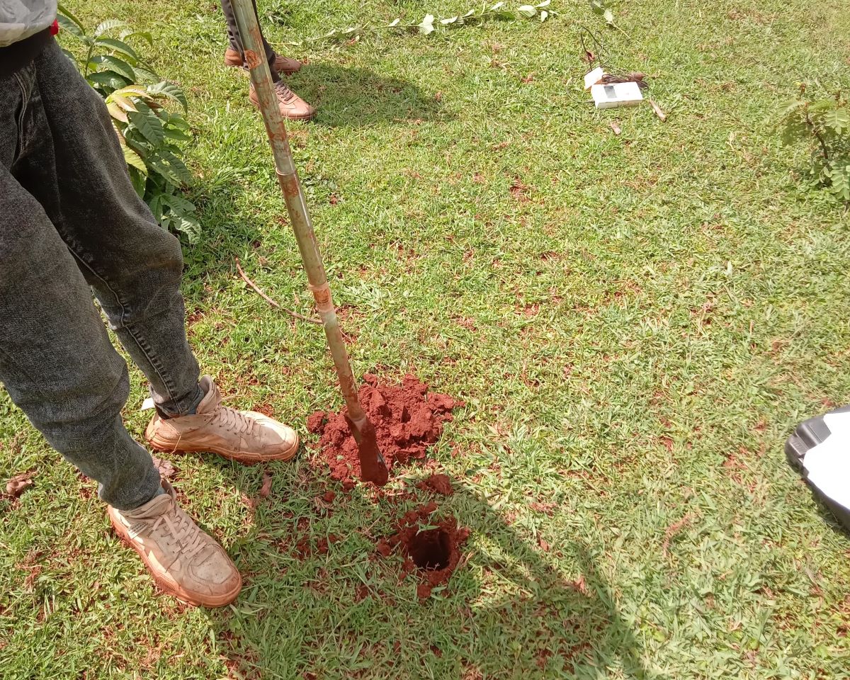
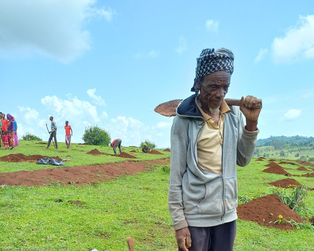
The first phase of the BURQAA Initiative concentrated on implementing a range of soil and water conservation (SWC) measures to improve catchment functionality. Activities included construction of soil bunds, check dams, terraces, and area closures, supported by vegetation restoration in degraded zones.
To track progress and assess impact, Acacia Water established a basic monitoring system using field-based measurements, including soil moisture levels, discharge rates, and rainfall data. Initial results demonstrated that:
- In Upper Dabena, the interventions contributed to 86,190 m³/year of additional water retention.
- In Hakim Gara, interventions resulted in 45,600 m³/year of additional retention.
These outcomes reflect strong performance in both sites and demonstrate the potential for SWC measures to increase water availability while reducing erosion. Lessons from Phase I also highlighted the need for stronger coordination among stakeholders, more structured community involvement, and locally appropriate planning tools—elements which informed the design of Phase II.
BURQAA Initiative Phase II (2023–2027)
The second phase of the BURQAA Initiative expands and deepens the work of Phase I, with a focus on enhancing sustainability, scaling effective practices, and increasing measurable outcomes. It aims to build on existing results by integrating technical, institutional, and socio-economic dimensions of catchment restoration. Phase II is structured around six key objectives, with Acacia Water contributing specifically to four of them:
- Enhancing sustainability of Phase I outcomes and scaling up to new areas: This includes extending water retention and land rehabilitation measures to new sub-catchments within the Upper Dabena and Hakim Gara areas. A comprehensive Water Balancing Suitability Assessment was launched, combining biophysical, socio-economic, and governance data to identify and prioritize the most suitable locations for intervention.
- Increasing water balance activity measures: Building on insights from the suitability assessment, this objective involves implementing landscape restoration and SWC measures over 1,600 hectares. Acacia Water supports the preparation of 3R (Retention, Recharge, Reuse) potential maps and integrates these with socio-economic data to guide interventions where both environmental need and community capacity align.
- Strengthening and expanding institutionalization of sustainable land and water management (SLWM): Through training programs and technical support, Phase II promotes local ownership of catchment management practices. This includes developing policy-seeking agendas and integrating practical catchment management plans (CMPs) into local government frameworks.
- Monitoring, evaluation, accountability, and learning (MEAL): Phase II includes a significantly expanded hydrological monitoring system. Telemetric sensors are used to track soil moisture, surface water flow, and groundwater levels. Monitoring results are collected biannually and support mid-term reviews and adaptive management. Remote sensing tools are used alongside field data to validate project outcomes.
Baseline assessments for biophysical, socio-economic, and governance indicators were conducted during the inception phase. A joint launching workshop, attended by Acacia Water, World Vision Ethiopia, and local authorities, set the direction for the detailed implementation plan. Acacia Water also developed practical tools, including 3R maps and socio-economic suitability models, which are used by local implementing teams to guide on-the-ground actions.
Catchment Management Guidelines
Catchment management plays a central role in addressing challenges related to water availability, land degradation, and declining agricultural productivity in Ethiopia. In areas where communities and industries depend heavily on natural water sources, degraded catchments reduce infiltration, increase surface runoff, and limit the availability of groundwater. These pressures are particularly acute in regions with steep terrain, intensive land use, and unsustainable farming practices.
The Catchment Management Guidelines (CMGs) for Upper Dabena and Hakim Gara are designed to provide simple, step-by-step instructions for planning and implementing small-scale catchment interventions. Unlike technical manuals, the CMGs prioritize ease of use, focusing on low-cost and replicable actions that can be adopted by community leaders and woreda-level staff.
Each guideline includes:
- An assessment of catchment conditions, including slope, soil type, erosion levels, land use, and hydrology,
- A set of recommended soil and water conservation (SWC) and water retention measures, tailored to different land conditions and degrees of degradation,
- An action plan with clear implementation steps, timelines, and roles for community members and local authorities,
- A basic monitoring and reporting framework, with indicators for water quantity, vegetation cover, and soil stability.
In January 2025, a stakeholder validation workshop was held with representatives from local government offices, HEINEKEN Ethiopia, World Vision Ethiopia, and community leaders. Feedback from the session was incorporated into the final versions of the CMGs. To improve usability at the local level, a simplified version was also produced in Afaan Oromo.
Project Areas: Upper Dabena and Hakim Gara Catchments
Upper Dabena Catchment (Illubabore Zone, Oromia Region)
The Upper Dabena Catchment receives consistent rainfall, ranging from 1,400 to 2,200 mm per year. However, land degradation—caused by deforestation, overgrazing, and hillside cultivation—has led to reduced infiltration and increased surface runoff. Steep slopes and erodible soils further contribute to severe erosion in highland areas, resulting in sedimentation and loss of productive land downstream.
The catchment supports a mixed farming system, with coffee as the primary cash crop and cereals and vegetables produced for subsistence. Several sub-catchments in the area have been identified as priority zones due to their high erosion vulnerability and limited vegetation cover. Restoration strategies in these zones include hillside terracing, reforestation, and gully rehabilitation.
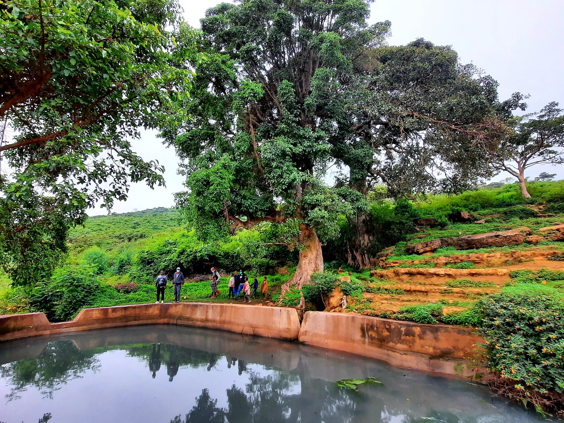
Hydrological monitoring shows that targeted interventions have improved water retention and soil moisture, particularly in sites where bunds and area closures were implemented. However, additional support is needed in areas with limited access and infrastructure.
Hakim Gara Catchment (Harari Region)
The Hakim Gara Catchment is located in Ethiopia’s eastern highlands and is part of the Shebelle River Basin. Rainfall in the area is significantly lower than in Upper Dabena, ranging from 600 to 900 mm annually. The geology is characterized by shallow soils and limited groundwater storage capacity, making communities heavily reliant on seasonal springs and hand-dug wells.
The catchment is predominantly agricultural, with households engaged in crop production and livestock keeping. Soil erosion is widespread due to steep topography and intensive land use. Restoration efforts in Hakim Gara focus on protecting springs, stabilizing hillsides through bunds and terraces, and promoting rainwater harvesting for household and agricultural use.
Vegetation indices and field data confirm that intervention areas have shown improvements in land cover and moisture availability, especially around spring catchments and terraces constructed in steep slope areas.
Impact Analysis results of Phase I
Water retention volumes are used to quantify the effectiveness of interventions in slowing, capturing, and storing water within the catchment. Measurements were obtained using field monitoring techniques, including soil moisture sensors and flow gauges, supplemented by remote sensing data.
- In Upper Dabena Catchment, the measured retention was 86,190 m³/year.
- In Hakim Gara Catchment, retention was 45,600 m³/year.
These findings reflect strong performance relative to the original water balance objectives, though they are based on data collected over a relatively short timeframe. To improve the accuracy of long-term impact assessments, it is recommended that monitoring activities continue through 2027/2028.
Downloads
Flyer Nature-based Solutions in Oromifa language
Catchment Guideline Upper Dabena Bedele
Catchment Guideline Hakim Gara Harar
Monitoring Impact Analysis Report
